Retraceability of Survey
Preservation of Truth on the Ground
A land survey is more than a snapshot of a property boundary at a single moment in time — it is a legal and historical record. That’s why documentation and retraceability are fundamental to the surveying profession.
Why Retraceability Matters
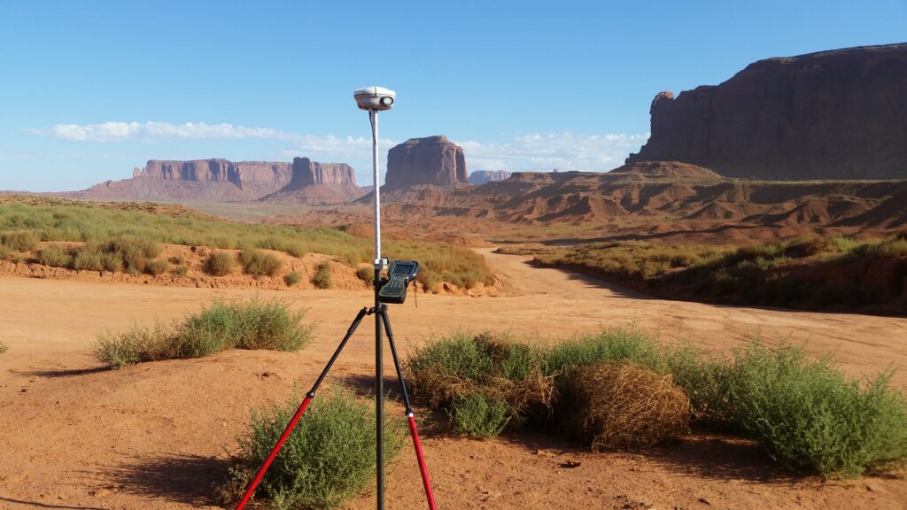
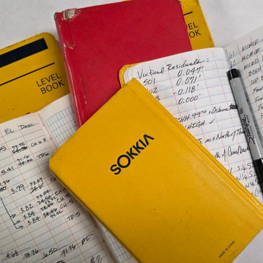
Every land survey must be documented so another surveyor can retrace the work. Retraceability means that years — even decades — later, a licensed professional can follow the original surveyor’s footsteps, understand the methodology used, locate the same monuments, and verify or reestablish boundary lines with confidence.
Whether you call it retracing, reproducibility, or defensible documentation, the principle is the same: another professional must be able to pick up the record and arrive at the same conclusion.
Without thorough documentation, boundaries become unclear. Property corners can be disturbed, monuments may be removed, and physical features can change. Clear records ensure that future surveyors can reconstruct the intent and evidence behind the original boundary determination, rather than having to start from scratch.
Dibble Survey prides itself on producing and maintaining strong records and notes of both field efforts and final deliverables for recordation. From field crews keeping field notes on every project to professionals in charge clearly documenting the intent of every survey delivered, Dibble emphasizes clarity at every step.
Protecting Property Rights
Land ownership is a significant investment for individuals and communities. Survey documentation protects the rights obtained through ownership by creating a defensible record. In the event of a dispute, properly recorded field notes, plats, monument descriptions, and reference ties provide clarity and legal standing.
Traceability reduces ambiguity. It creates consistency from one generation of surveyors to the next and minimizes the risk of costly boundary conflicts, construction delays, or legal challenges.
Accountability and Professional Integrity
Documentation is also a matter of professional responsibility, reflecting both accountability and integrity. A surveyor’s seal represents confidence in the accuracy of their work. By recording measurements, methods, control points, and evidence considered, surveyors demonstrate transparency and accountability.
Future professionals should be able to see not just where a line was placed, but why, through the documented record of that decision.
Building on the Past to Serve the /Future
Communities evolve over time. Infrastructure expands. Properties subdivide. Construction continues. Reliable survey records create continuity as land is developed and redeveloped over time.
Every project has the potential to become a communal effort over the course of a decade. Even at the smallest scale, Dibble ensures each project is thoroughly documented. This is done in such a way that, should it be necessary, any project can be the foundation of a future community and protect everyone’s land rights.
Retraceability is what allows each new project to be built on a verified foundation. It connects the past to the present and safeguards the future.
In land surveying, documentation isn’t just paperwork. It’s the preservation of truth on the ground.